
Larry and I hiked a volcano while in Oahu, so it seemed only natural that we'd hike another one once we arrived in Maui. Plus, we are huge fans of the U.S. national parks, so we jumped on the opportunity to check another one off our list while in Hawaii.
Haleakala National Park covers over 30,000 acres, but only a tiny portion of it is accessible to humans. To truly experience the park involves an overnight hiking/backpacking trip into the crater. We weren't up for that, but luckily you can get a great overview of Haleakala from the summit and hike as far as you want down into the crater and then turn around. The hike back out is a little more of a challenge - one of those slow burning, low-grade hills that never seems to end.
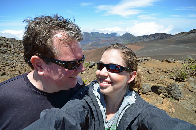
Haleakala's summit is Puʻu ʻUlaʻula and it is 10,023 feet above sea level. Let me tell you, that is way up there! Since Maui's coast is AT sea level, that means the summit is nearly TWO MILES above the ocean. (It also means you're two miles closer to the sun, which resulted in Larry's neck looking like a slab of bacon by the end of the day.)
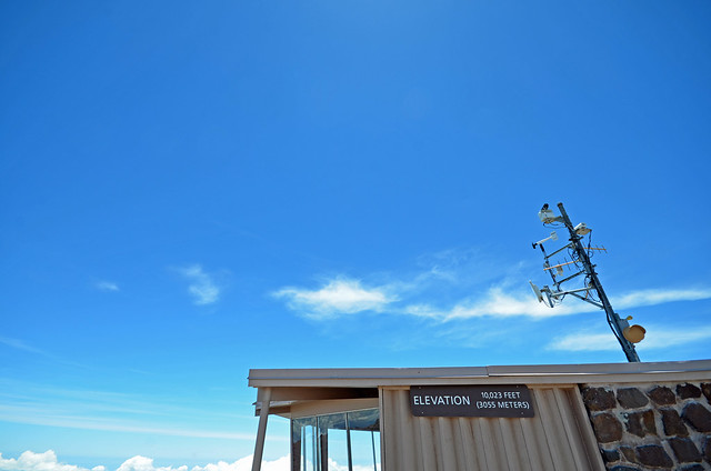
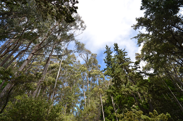
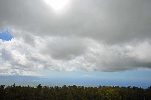
Driving up the volcano on the winding road was a little nerve-wracking. It was hard to photograph the steepness of the drive up since my wide-angle lens tends to flatten everything out, but we drove up above the clouds! We started out among tall trees and ended up in a barren martian landscape at the summit.
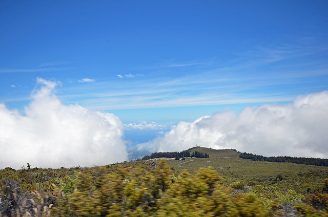
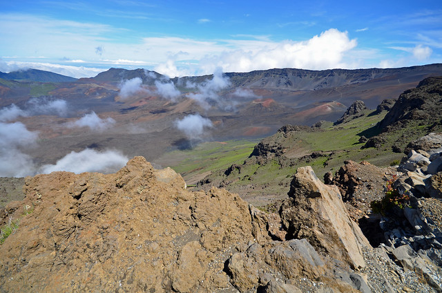
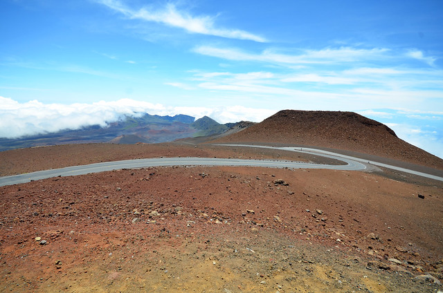
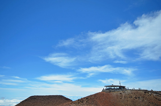
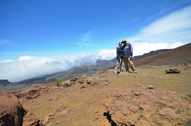
The view from the top was amazing! It really did look like we were on Mars, complete with a little "space station."
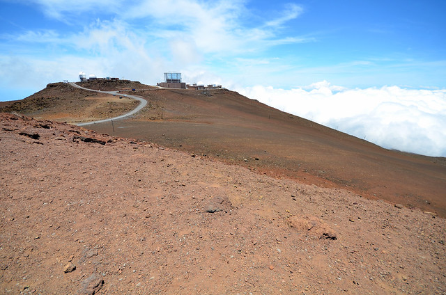
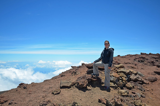
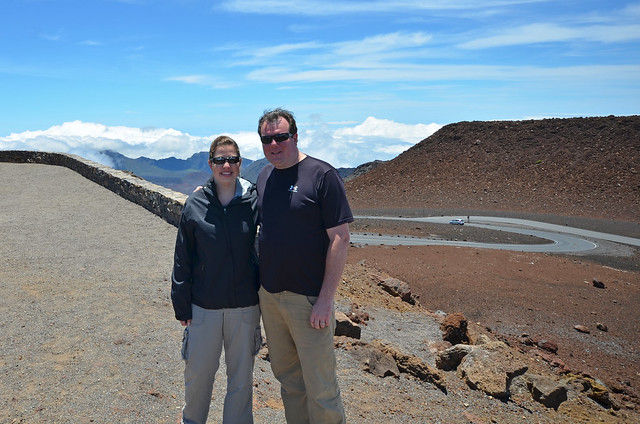
(Evidently, once you're married, you start inadvertently dressing alike...)
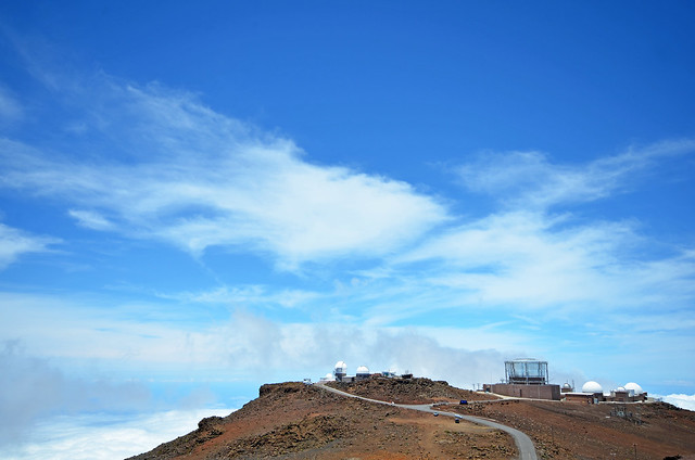
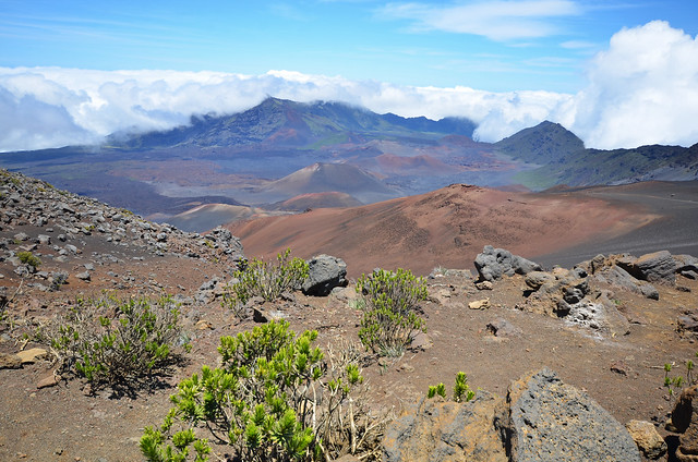
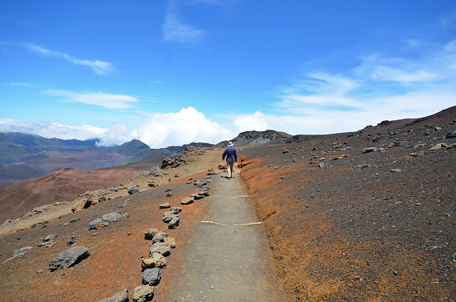
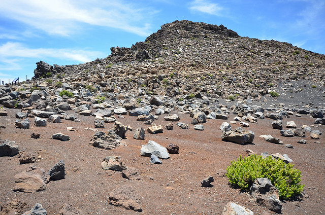
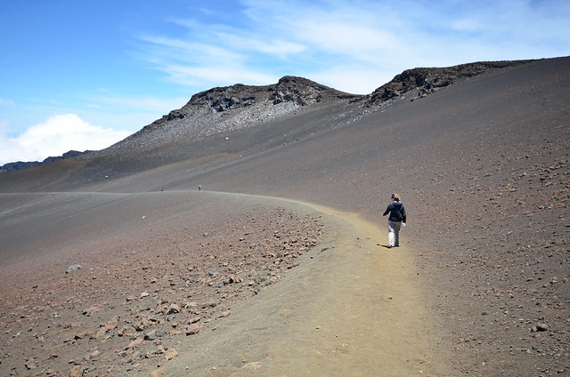
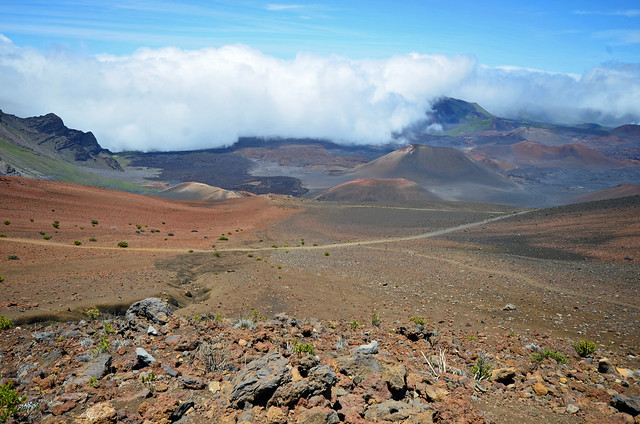
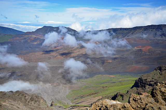
We hiked Sliding Sands Trail into the crater to get a better glimpse at the cinder cones. I took about a thousand pictures, most of which looked exactly the same. I'll try to control myself:

We slept pretty well that night!


No comments:
Post a Comment